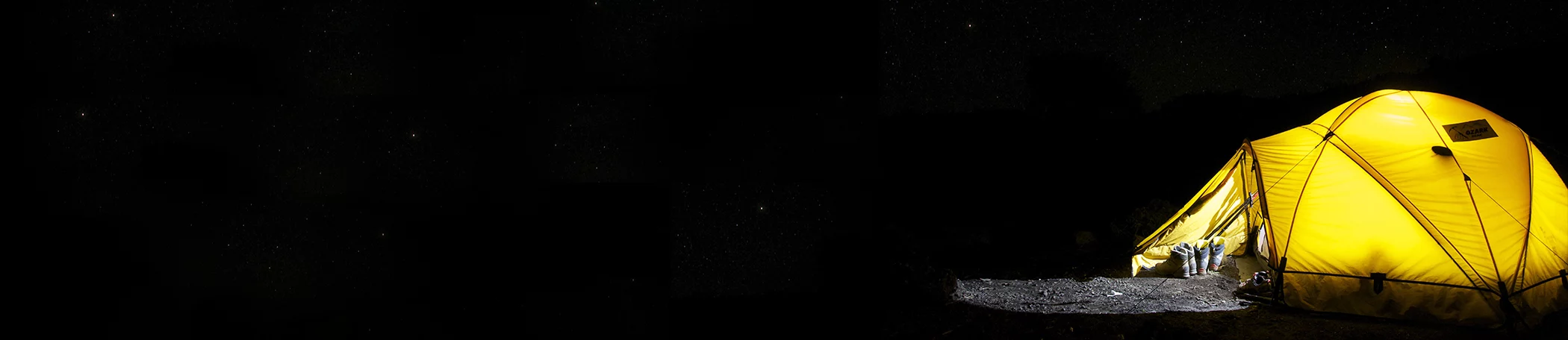
- Home
- / Things To Do
- / Bryce Canyon National Park
- / Best Hikes
- / Shuttles
- / Parks and Attractions
- / Visitor Centers & Brochures
- / Anasazi State Park Museum, Utah
- / Boulder Mountain
- / Capitol Reef National Park
- / Dixie National Forest
- / Escalante Petrified Forest State Park
- / Ghost Towns / Widtsoe
- / Grand Staircase-Escalante National Monument
- / Hole In The Rock
- / Kodachrome Basin State Park
- / Lake Powell
- / Panguitch Lake
- / Red Canyon
- / Activities
- / Astronomy
- / ATV/OHV Riding
- / Camping
- / Canyoneering / Slot Canyons
- / Fishing
- / Hiking
- / Mountain Biking
- / Photography
- / Wildlife
- / Winter Activities
- / Scenic Highways & Drives
- / Burr Trail Road
- / Scenic Byway 12
- / Scenic Byway 143
- / Scenic Highway 89
- / Gift Shops & Outfitters
- / Museums & History
- / Tours, Guides, & Rentals
- / Aerial Tours Over Bryce Canyon
- / Astronomy Tours
- / Biking Tours and Rentals
- / Hiking Guides
- / Horseback Rides
- / Hunting and Fishing Guides
- / Kennels
- / Off Road Tours and Rentals
- / Boat Rentals & Water Sport Rentals
- / Rodeos & Western Activities
- Home
- / Restaurants
- / Coffee Shops
- / Diners
- / Near Bryce Canyon
- / Bars
- Home
- / More
- / Request A Brochure
- / Transportation
- / Bryce Canyon Airport
- / Car Rentals
- / Shuttles
- / Road Construction Updates
- / Visitor Centers
- / Maps and Itineraries
- / Hiking
- / Capitol Reef
- / Itinerary Combo
- / Pansaugunt Scenic Backways
- / Boulder Mountain
- / ATV
- / North Lake Powell ATV Itinerary
- / Traveling With Pets
- / Historical Events
- / Weather
- / Blog
- / Media Gallery
- / Alerts and Updates
- / Activity Booklet
Red Canyon
Information
Just east of the crossroads of Scenic Byway 12 and Scenic Highway 89 is Red Canyon, a part of the Dixie National Forest. The landscape of Red Canyon is identical to Bryce Canyon, but simply not as large. Incidentally, Bryce Canyon is just 12 miles further west of Red Canyon. The on the Claron limestone hoodoos of Red Canyon were eroded in similar fashion to those found in Bryce Canyon, by wind and water. Scenic Byway 12 runs through Red Canyon for about four miles, and their are many side canyons and trails to explore in this scenic destination.
Trails lead visitors past many of the hoodoos can be explored via short hikes, or visitors have the option of enjoying the paved, five-mile Red Canyon bike and walking path. This popular bike and walking trail winds through the ponderosa forest between Red Canyon and the upper Paunsaugunt Plateau, with access points for the Grand View Trail and the Thunder Mountain Trail.
In winter months the paved trail is also a very popular throughway for cross-country skiing, snowshoeing, and even sledding.
Other trails in Red Canyon include the Casto Canyon ATV Trail, Losee Canyon for hiking and mountain biking, and the 0.7-mile Arches foot trail.
Begin your experience at the Red Canyon Visitor Center, operated by the U.S. Forest Service. Here you’ll find information about trails, camping and sightseeing points of interest. The visitor center is located on the north side of the byway, about four miles from the intersection of Scenic Byway 12 and Highway 89. You’ll enjoy the interpretive displays, a picnic area, drinking water, restrooms, and a campground across byway. The Red Canyon Visitor Center is open mid-spring to late fall.