

Step back in time to the Cretaceous period when dinosaurs roamed the area designated as the Bureau of Land Management’s (BLM) first national monument — Grand Staircase-Escalante National Monument. This is just one segment in the history of Escalante, Utah that occurred millions of years ago as the land laid layers of rock to be eroded by wind, water and lava flows to the majestic mountains of today.
But we’re getting ahead of ourselves. Why learn history, when you don’t know where Escalante is! Where is Escalante, Utah?
Let’s have history be our guide as we step through Escalante’s history.
What County is Escalante, Utah In?
Escalante can be found in the southeastern part of Garfield County. If the name is familiar, maybe you’ve heard about the Escalante River which extends more than a hundred miles to the Colorado River and is a great destination for river rafting, hiking and active exploration today.
This is why the area was a great home for the Fremont and Anasazi Native American tribes. Specifically, the Fremont people contributed to various petroglyphs and pictograph art you can view from the upper reaches of the Escalante River drainage south to the Kaiparowits Plateau and east toward the Henry Mountains as well as Glen Canyon-Lake Powell area. You can also find some Native American art on the sandstone cliffs along the trail to Lower Calf Creek Falls, a popular hike in the area.
Weather for Escalante, Utah
As the explorers started coming to the area, they noticed weather changes throughout the year in Garfield County. In the summer, the temperature fluctuates from 58-90 degrees Fahrenheit. In the winter, temperature averages between 30-40 degrees Fahrenheit.
Explorer and photographer Almon H. Thompson came to the area in 1872. His group came to study the area, naming it the Escalante Basin in honor of the early Catholic priest-explorer of the West. They came to find a warmer climate and longer growing season.
Much like these explorers, you can experience a warmer climate as you adventure. If you want cooler weather, you can hike, bike or ATV up the mountainside or plateaus to get cool with a change in elevation.
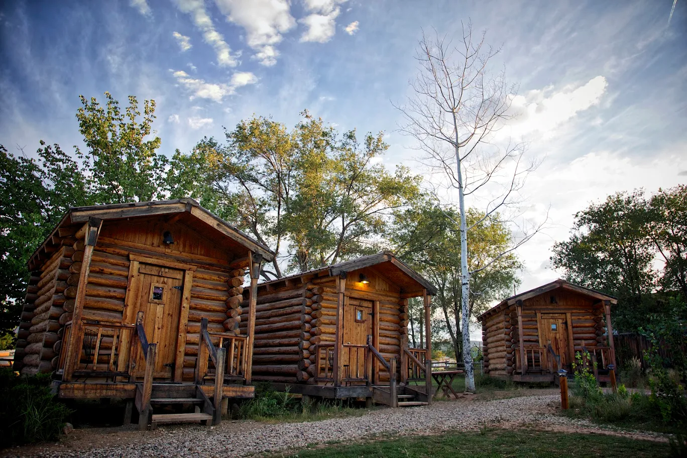
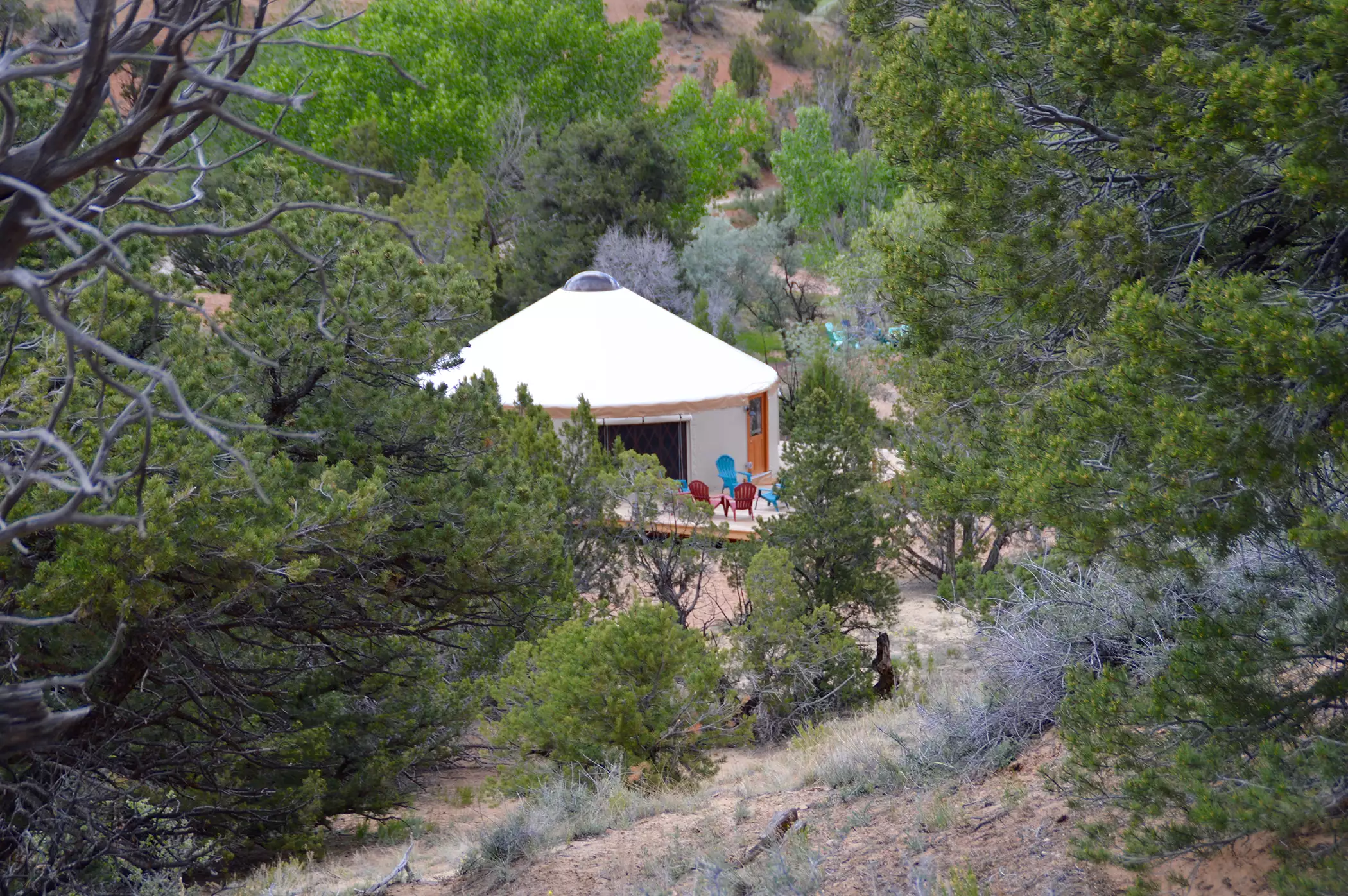
[custom-mapping map_id=”6751″ height=”400″]Escalante, Utah Camping
Many historic stories talk of settlers and explorers who traveled and camped along The Escalante River. You can camp in Escalante too! Calf Creek Falls Recreation Area campground is the closest spot to the famous trailhead.
This campsite has nearby sites that will take you back in time to see pictographs and Fremont granaries of the early settlers. There are also primitive sites so you can really feel like explorer Thompson.


Escalante, Utah Hikes
After the explorers, the pioneers came to the region. They trekked long distances before building temporary lodging near the river banks. Soon after, they established the town more permanently in about 1877.
With the area established, travelers love to visit the area as it provides so many recreational hiking opportunities. Of historical note, is the Hole in the Rock Road that pioneers traveled through in 1879. Blasting and carving their way through the notch in the canyon, they invested a lot to complete their journey.
Today, Hole in the Rock Road is accessible by car and worth the drive if you have a high-clearance vehicle. Be aware as the dirt road gets rougher as you go. Along the way, slot canyon hikes such as Peek-a-boo, Spooky Gulch, Coyote Gulch and more are gratifying hikes for your vacation.
As you experience the current, captivating vistas in Escalante, explore more places in Bryce Canyon Country with its history you can uncover and discover.