Bryce Canyon isn’t the only National Park accessible from Bryce Canyon Country. Did you know Capitol Reef National Park runs north-south into Garfield County, and is easily accessible for visitors staying in Boulder or Escalante? From either town, take Scenic Byway 12 to Torrey, then head east on Highway 24 to the Capitol Reef visitor center
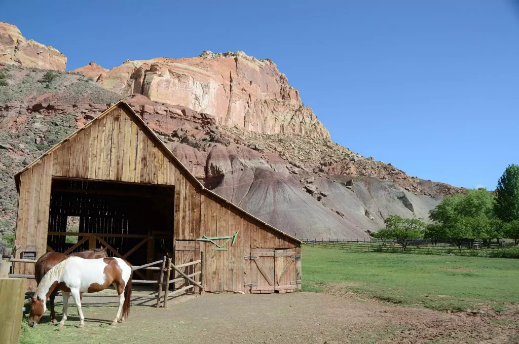
The easiest way to explore Capitol Reef National Park is from the paved Scenic Drive, which begins near the visitor center. The Scenic Drive winds through the park for eight miles, leading to the historic town of Fruita, 11 scenic viewpoints, and giving access to Grand Wash, Capitol Gorge, and beyond.
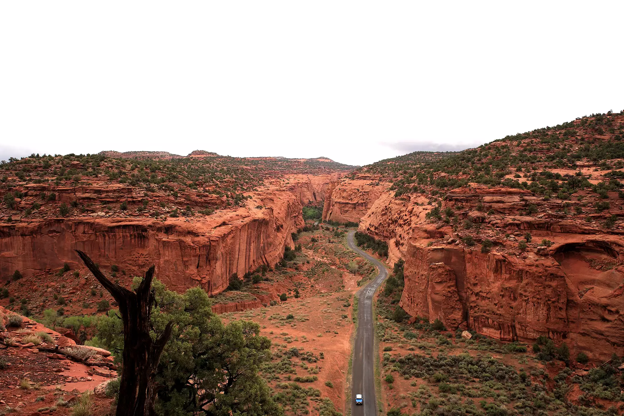
[custom-mapping map_id=”6744″ height=”400″]There’s no doubt about it, the view from the Scenic Drive is impressive, showcasing colorful layers of sandstone, shale and petrified wood from the Moenkopi and Chinle formations. But the real showstopper in Capitol Reef is the Waterpocket Fold, a 100-mile wrinkle in the earth’s crust. There’s a great view of the Waterpocket Fold’s varying layers of sediment and rock from the second viewpoint along the Scenic Drive. A little down the road, a spur road leads to Grand Wash, and then a trail heads out to Cassidy Arch, a massive stone formation named for Butch Cassidy. Near the end of the Scenic Drive, you can get a great glimpse of Capitol Reef’s namesake white domed formation, and the steep monocline of the Waterpocket Fold.
Capitol Gorge Road picks up where the Scenic Drive leaves off, a dirt 4WD road that continues on to Pleasant Creek Road and South Draw. A 2.5-mile hike in Capitol Gorge leads to ancient petroglyphs by the Fremont people and the famous Pioneer Registry carved into a canyon wall. Extreme adventurers can hike past the Tanks to the Golden Throne, another of Capitol Reef’s notoriously massive rock formations.
Another way to reach Capitol Reef National Park from Boulder is via the Burr Trail Road, an old cattle trail, and then on to Notom-Bullfrog Road. The Burr Trail is paved from Boulder to Capitol Reef and becomes graded dirt when you reach the park’s boundary. Inside the park, the switchbacks rise a breathtaking 800 feet in just a half-mile of driving. When you reach Notom-Bullfrog Road, you’ll drive north through the park along the eastern side of the Waterpocket Fold. The scenery is gorgeous and the hiking opportunities are plentiful. If you head through the park from this end, you can hike Lower Muley Twist, Hall’s Creek Narrows, and other backcountry trails within the park. Notom-Bullfrog Road is a dirt road, so check for wet weather and road conditions before heading out.
If you take the Burr Trail/Notom-Bullfrog Road route through Capitol Reef National Park, you can come back the way you came to Boulder, or cut through the northern tip of the park by heading west on Highway 24, where you can pick up Scenic Byway 12 at Torrey and head back to Boulder. The trip from Torrey to Boulder takes less than an hour, so enjoy Boulder’s lodging amenities and central location in Bryce Canyon Country. Take some time the next day to visit Anasazi Museum State Park, or visit nearby Escalante Petrified Forest State Park.
Just a half an hour west of Boulder on Scenic Byway 12, and only an hour from Bryce Canyon, Escalante is also a great home base for your Capitol Reef National Park visit.