

The combination of Highway 12, Pine Creek Road, and Hell’s Backbone Road create a scenic loop that includes multiple landscapes and points of interest along one driving route, and provides an easy way to see various landmarks in a single day trip.
The loop, which partially traverses areas of the Boulder Mountain, can begin from one of two towns. The first, Escalante, is a great location to learn more about the area’s history. In May 2011 the first phase of the Escalante Heritage Center was completed. The new center offers information on the Hole-In-The-Rock/San Jan Expedition as well as murals by local artist Lynn Griffin depicting the journey down through the hole. Escalante is a great location to acquire information and any supplies, or groceries you may want to take along. Boulder also offers some of the items you may need for groceries or supplies and is home of the Anasazi State Park Museum.
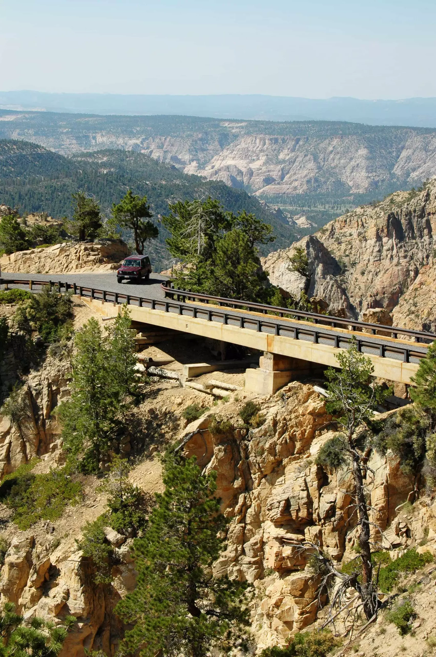
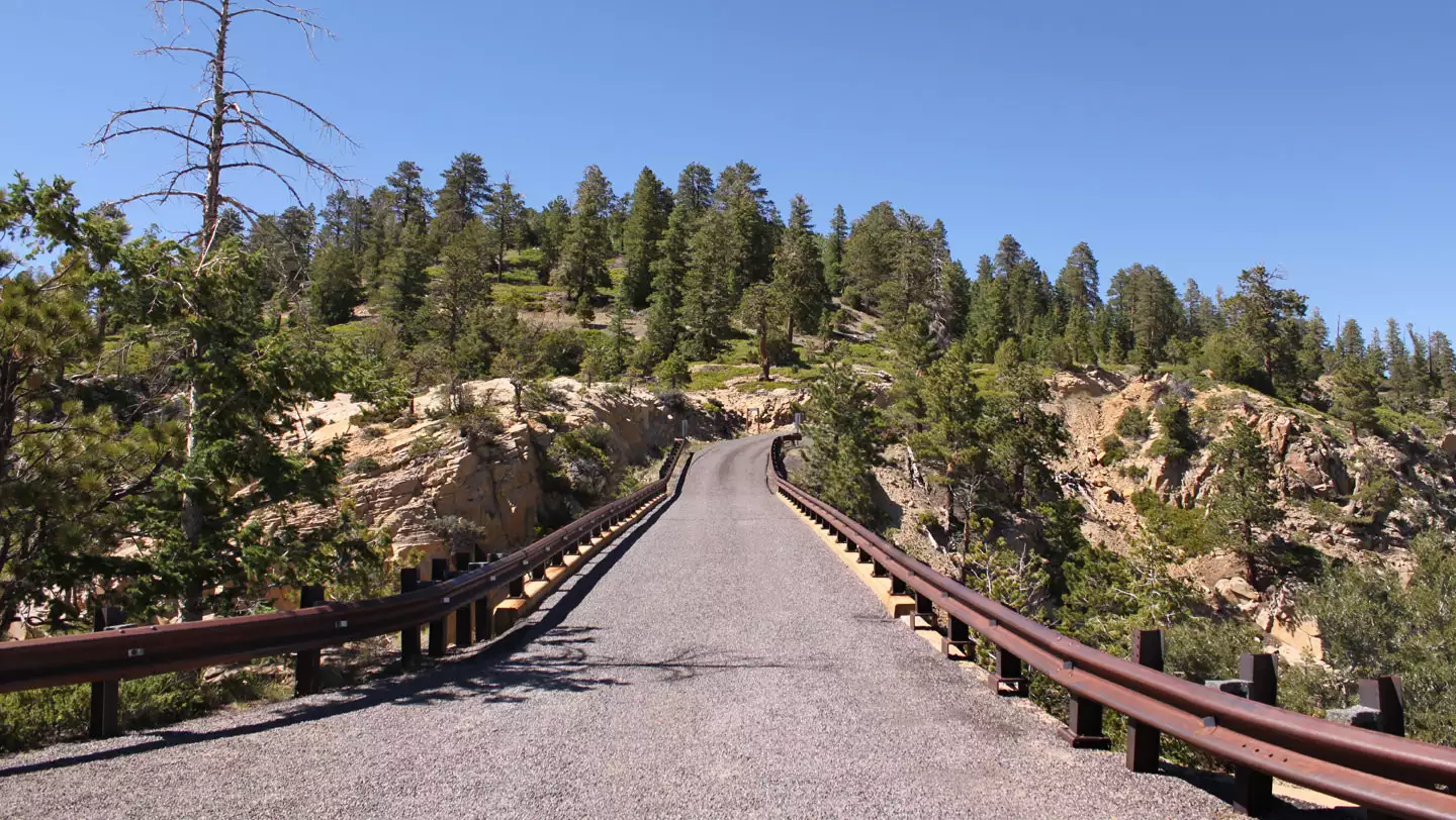
By viewing the map on this page of the Scenic Byway 12 website you will see that the Pine Creek Road goes north from Escalante and eventually circles east toward Boulder on the Hell’s Backbone Road. This is a well-graded road that is normally good for travel from early summer into the fall. Along the road, you’ll pass dramatic rock formations, thick pine forests, and scenic vistas. Posey Lake is a great scenic picnic area and especially an enjoyable place to fish. Hell’s Backbone Bridge crosses a chasm that descends one thousand feet into the infamous Box Death Hollow. The eastern horizon view is over the Grand Staircase Escalante National Monument.
The drive between Boulder and Escalante is approximately 30 miles and covers the Hogback section where the terrain drops off 1,000 feet on both sides. Near the Hogback, Scenic Byway 12 descends into the Calf Creek and Escalante River drainages and then climbs back onto a bench on either side of this section.


Please use caution during inclement weather and take plenty of water and supplies for your day trip. Pine Creek and Hell’s Backbone Road Distance: Approx 55 miles. The average speed is estimated at 15 to 20 mph.