

Red Canyon on Scenic Byway 12
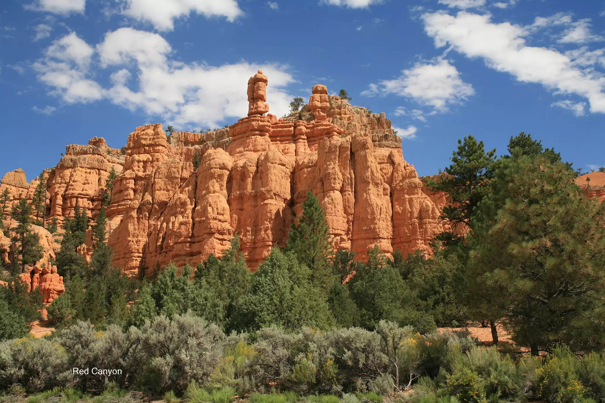
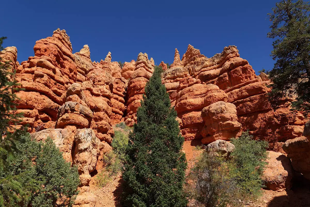
Twelve miles outside of Bryce Canyon National Park on Scenic Byway 12, Red Canyon beckons with a similar red rock landscape. Like Bryce Canyon, Red Canyon’s hoodoos were sculpted from Claron limestone over eons from wind and water erosion. Red Canyon is part of the Dixie National Forest and follows Scenic Byway 12 for about four miles.Driving Through Red Canyon's Famous Tunnels
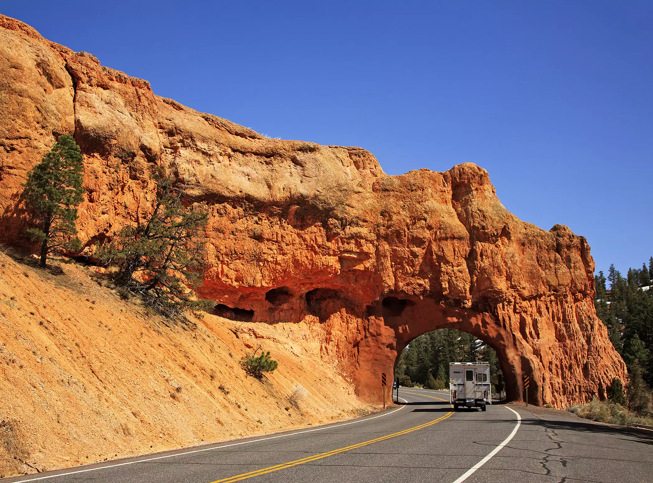
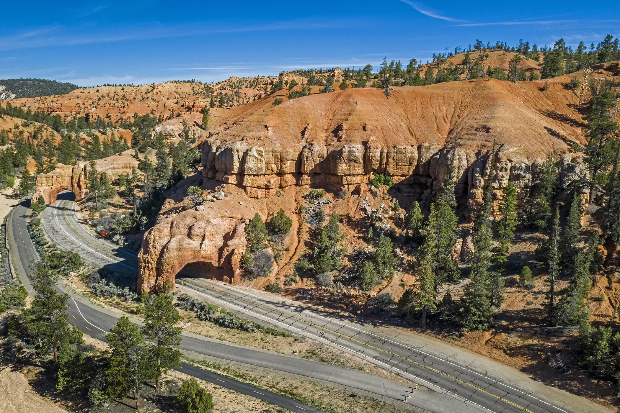
If you've seen a photo of Red Canyon, there's a good chance it featured the two limestone arch tunnels carved into the cliffs along Highway 12. Blasted through solid rock decades ago to carry the road through the canyon, these vermilion-hued tunnels frame the highway in a way that feels almost too cinematic to be real.
Slow down as you approach. There are pullouts on either side where you can park, take photos, and get a closer look at the rock face up close. It's one of the most photographed stops on the entire byway, and it's free.
Hiking Trails in Red Canyon
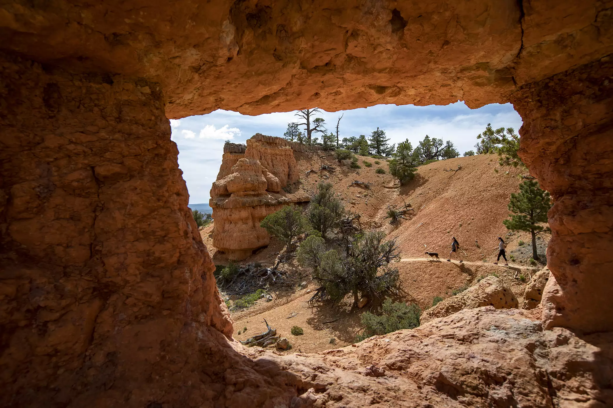
Red Canyon's trail system is one of its best-kept secrets. It’s less crowded than Bryce, but just as scenic. Most trailheads are within a few minutes of the Visitor Center, so you can easily string a couple of hikes together in a single morning.
Birdseye Trail - 0.8 miles, moderate
A short climb rewards you with close-up views of Red Canyon's red rock spires. It's a great option if you only have an hour to spare but still want that classic hoodoo scenery.
Tunnel Trail - 1.4 miles round trip, moderate
Starting near the iconic tunnels, this trail switchbacks its way up to a viewpoint high above the canyon floor, giving you a bird's-eye look down at the tunnels and the highway winding beneath them.
Buckhorn Trail - 2 miles round trip, moderate
Beginning at the Red Canyon Campground, Buckhorn Trail climbs to a vantage point overlooking the canyon. Follow the signs and you can extend your hike onto the longer Golden Wall Trail, which connects to Castle Bridge Trail and loops back toward the Visitor Center.
Pink Ledges Trail - easy, interpretive
A flat, family-friendly walk through hoodoos and ponderosa pines, with numbered stops along the way. Pick up a trail guide at the Visitor Center to learn what you're looking at as you go.
Arches Trail - 0.7 miles, easy to moderate
Don't let the short distance fool you. This little loop passes more than a dozen small natural arches and windows carved into the rock. The trailhead sits off Casto Canyon/Losee Canyon Road, about 2 miles down an unpaved road, so a higher-clearance vehicle helps.
Thunder Mountain Trail - ~8 miles, singletrack
A favorite among mountain bikers, this ridge-top trail winds through red rock hoodoos with sweeping views over the canyon below.
Biking in Red Canyon
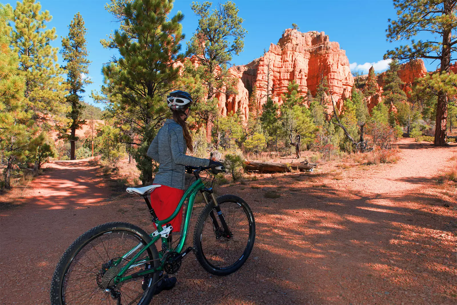
Red Canyon is one of the few places in the area where mountain biking among the hoodoos is welcome - something Bryce Canyon National Park itself doesn't allow. The paved Red Canyon Bicycle Trail runs 5 miles alongside Highway 12, winding through a ponderosa pine forest between Red Canyon and the upper Paunsaugunt Plateau, with access points to the Grand View Trail and Thunder Mountain Trail. It's a popular out-and-back ride for road cyclists of nearly any skill level, with the first stretch climbing gradually before leveling out.
In the winter months, the paved trail is also a very popular throughway for cross-country skiing, snowshoeing, and even sledding.
Casto Canyon ATV & OHV Trail
Prefer four wheels? Red Canyon offers some of the best off-highway vehicle access in the area. The Casto Canyon Trail winds through colorful canyon scenery and connects to a larger network of OHV routes across the Paunsaugunt Plateau. Check with the Visitor Center for current trail conditions and any seasonal restrictions.
Red Canyon Visitor Center
Begin your visit at the Red Canyon Visitor Center, operated by the U.S. Forest Service. Here you'll find trail maps, camping information, and details on sightseeing points of interest throughout the canyon. Inside, you'll find interpretive displays exploring the canyon's geology and history; outside, a picnic area, drinking water, restrooms, and a campground just across the byway.
Location: From Panguitch, Utah, head east on Highway 89 for about 7 miles to the turnoff for Highway 12. Follow Highway 12 east for roughly 3.5 miles, and you'll find the Visitor Center near the Red Canyon Campground. Bryce Canyon National Park is just 13 miles further along this same route.
Contact: (435) 676-2676
Amenities: Interpretive displays, picnic tables, parking, accessible restroom facilities, and drinking water.
Season: Open mid-spring through late fall.
Frequently Asked Questions
Is there an entrance fee for Red Canyon?
No. Red Canyon is part of Dixie National Forest and free to visit. There's no entrance station or fee, unlike Bryce Canyon National Park just up the road.
How long is the Red Canyon bike trail?
The paved Red Canyon Bicycle Trail runs 5 miles alongside Highway 12, connecting Red Canyon to the upper Paunsaugunt Plateau, with access to additional singletrack trails like Thunder Mountain for more experienced riders.
Can you hike near the tunnels?
Yes. The Tunnel Trail starts right near the arch tunnels and climbs to a viewpoint looking down over them - one of the best vantage points in the canyon.
Is Red Canyon worth stopping at on the way to Bryce Canyon?
Absolutely. Many visitors drive straight through on their way to Bryce, but Red Canyon has its own scenery, hiking trails and biking routes, and is easily worth an hour or two, even on a tight schedule.
Are dogs allowed on Red Canyon trails?
Yes, leashed dogs are permitted on most Red Canyon trails, since it's national forest land rather than a national park. Always check current Forest Service guidelines before you go.

Related Lodging, Dining, & Guides.

Sunset Campground
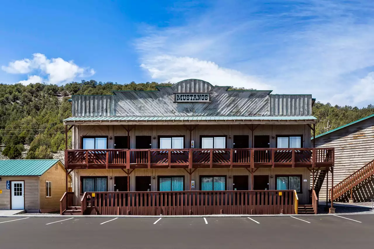
Quality Inn Bryce Canyon

Ruby's Inn Horseback Adventures

Under Canvas Bryce Canyon

Ebenezer's Barn and Grill

Ruby’s Inn General Store
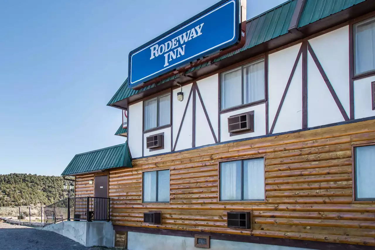
Rodeway Inn Bryce Canyon

Red Canyon Village RV Park


Bryce Canyon Inn

Bryce UTV Rentals

Bryce Canyon Pines Campground

Bryce Canyon Trading Post

Ruby's Inn Rustic Log Cabins

Mystic Adventures

Bryce Canyon EZ Riders

Bryce UpTop Lodge

Bryce Canyon Scenic Tours and Shuttle Service


Under Canvas Restaurant

Rustler's Restaurant

Bryce Canyon Country Rodeo


Ruby's Inn ATV Tours

The Canyon Diner

Bryce Canyon Pines Lodge

Ruby's Inn Cowboy's Buffet & Steak Room

Bryce Canyon Coffee Co.


American ATV Rentals


Ruby's Inn Campground Tipis


Mecham Outfitters

Red Canyon Village Cabins

Valhalla Pizza

Canyon Trail Rides

Bryce View Lodge

Bryce Wildlife Adventure

Bryce Canyon Resort Hotel
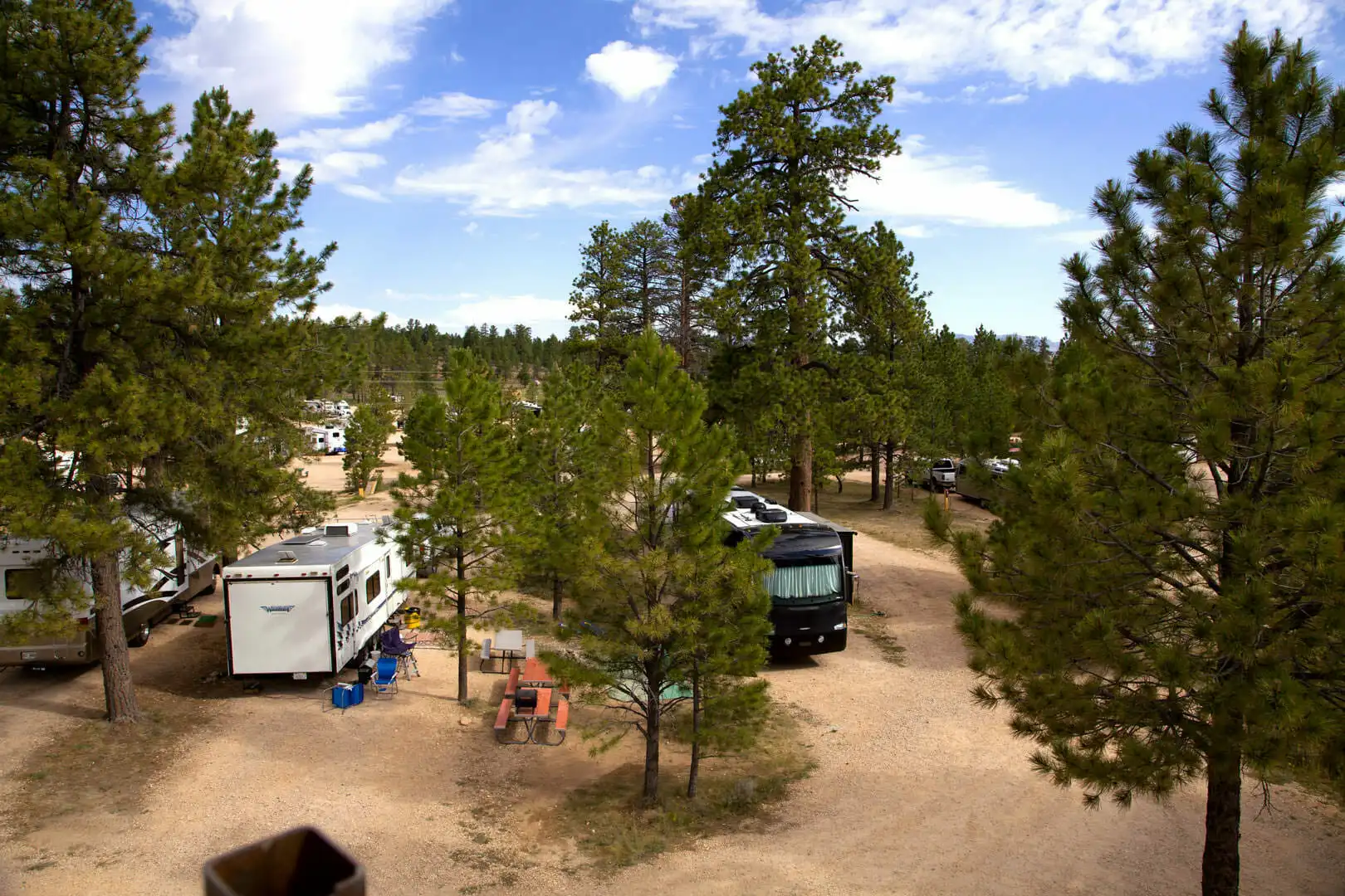
Ruby's Inn RV Park & Campground

Historic Service Station Bike Rentals

Bryce Canyon Pines Cottages

Best Western Plus Bryce Canyon Grand Hotel

Bryce Canyon Scenic Retreat
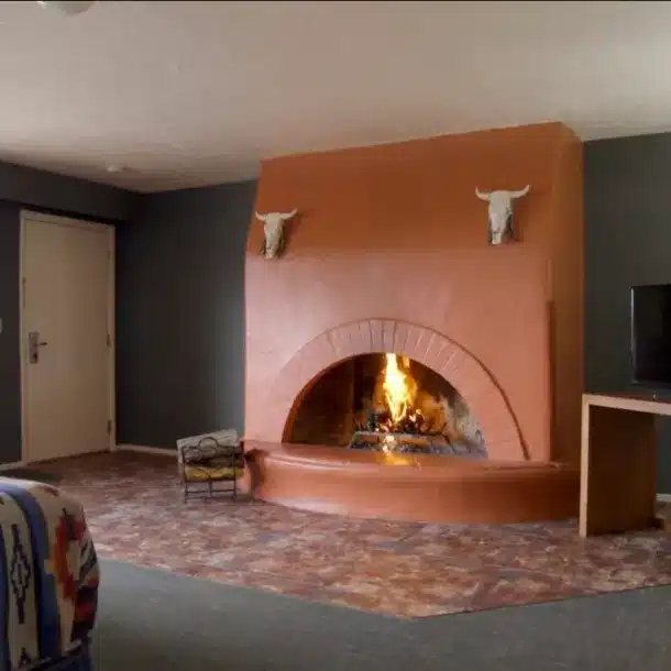
Bryce Canyon Resort Hotel

Ruby's Inn Cycling

The Lodge at Bryce Canyon

Bryce Canyon Pines Restaurant

Red Canyon Campground

Canyon Fever Guides

Bryce Wildlife Outfitters

Charming Country Bunkhouse

Kings Creek Campground

Dining Room at The Lodge at Bryce Canyon
