Bryce Canyon – Yovimpa & Rainbow Points

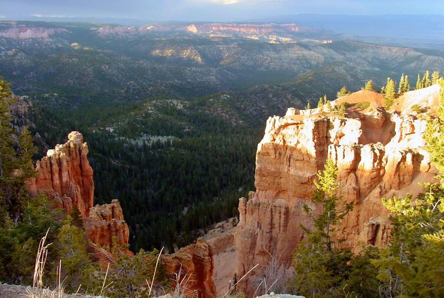
Bryce Canyon view point Looking north along the Bryce Canyon rim from the southern end of the park.

Many travelers visiting Bryce Canyon National Park never make it to the canyon’s top points. But Rainbow and Yovimpa view are not to be missed! Less than a mile from each other, these stunning vistas are well worth

The History of Bryce Canyon’s Namesake

Perhaps two of the most immortalized “Ebenezers”in namesake history are the infamous Scrooge, forever celebrated as the former miser who despised Christmas, and the lesser known, Bryce, the man whose name is responsible for characterizing the other-wordly rock formations and stark landscape of Bryce

Grosvenor Arch

Grosvenor Arch is a remarkable sight, a massive sandstone formation standing more than 150 feet high and spanning 92 feet across. The natural double arch is located within Grand Staircase Escalante National Monument, about ten miles southeast of Kodachrome Basin State Park.

Grosvenor Arch - Utah

The arch was named by

Anasazi Museum State Park

The Anasazi State Park Museum offers another opportunity to get up close and personal with Utah’s natural and human history.

Anasazi Indian State Park

A museum houses most of the artifacts that have been found in this former Anasazi Indian village, which was occupied between 1050 and 1200 A.D. and is believed to be the

Bryce Canyon South End

Bryce Canyon National Park’s 18-mile scenic drive winds north-south through the park, ascending more than 1,000 feet to its highest elevation of 9,115 feet at Rainbow Point. While many visitors concentrate their time on the rim of Bryce Amphitheater, viewpoints offering expansive vistas far beyond

Erosion in Bryce Canyon

Effects of erosion in Bryce Canyon National Park

Several forces of nature have played a hand in the formation of Bryce Canyon’s horseshoe-shaped amphitheaters, and other similar formations in the surrounding region. While much of the landscape is the result of millions of years of changing climates and shifts and uplifts of the Colorado Plateau,

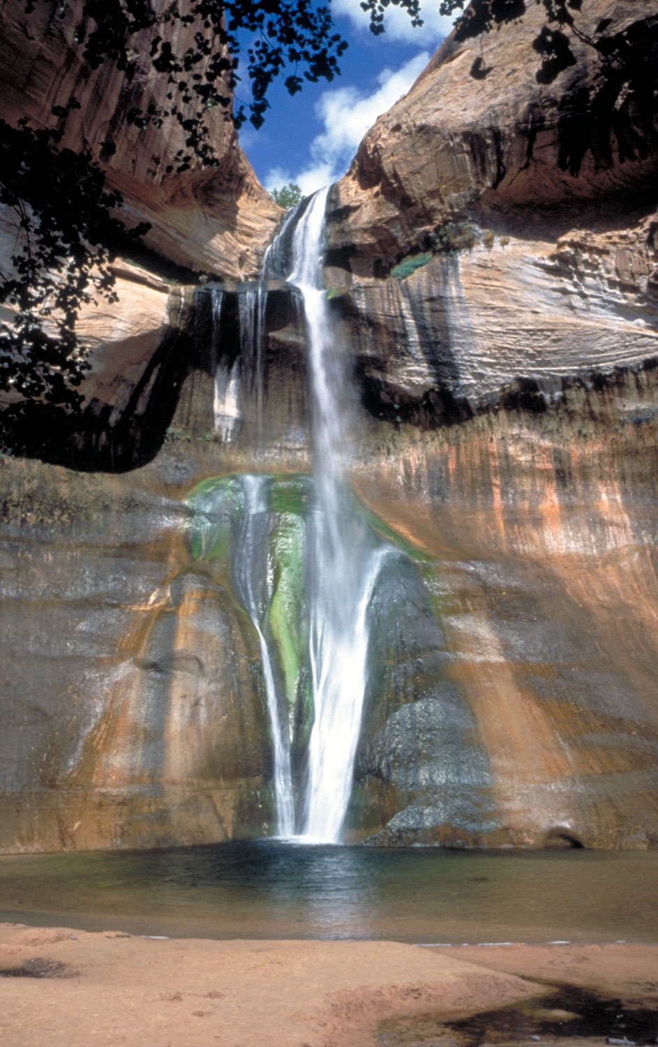
Lower Calf Creek Falls

Calf Creek Falls in Southern Utah

A walk into the lower Calf Creek Falls is an opportunity for multiple experiences. The trail head is found at the Calf Creek campground just fifteen miles east of the town of Escalante on Scenic Byway 12. The waters of Calf Creek begin on the Boulder Mountains and the creek eventually enters the

Capitol Reef History

Capitol Reef National Park History

Capitol Reef National Park is largely defined by the Waterpocket Fold, a 100-mile long classic monocline uplifted 7,000 feet on the west side. The rugged Waterpocket Fold prevented a barrier to widespread exploration until the mid-1800s, but was home to a Native American population dating back to

Translate »
X
X