Boulder Mountain Fishing
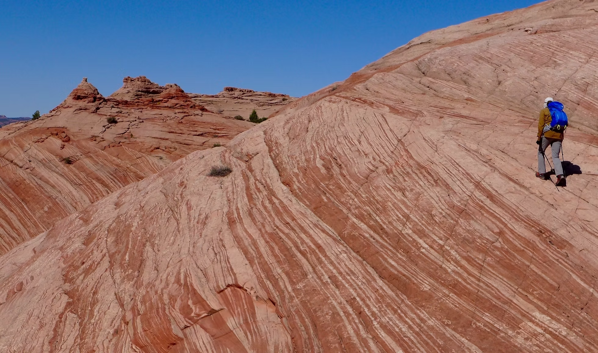
Boulder Mountain is one of the major high-elevation fishing areas in Utah, second only to the Uintah Mountains in northern Utah. Part of Dixie National Forest, the mountain makes up more than half of the Aquarius Plateau and is the highest timbered plateau in North America, with more than 50,000 acres above 11,000 feet.Boulder Mountain Creeks
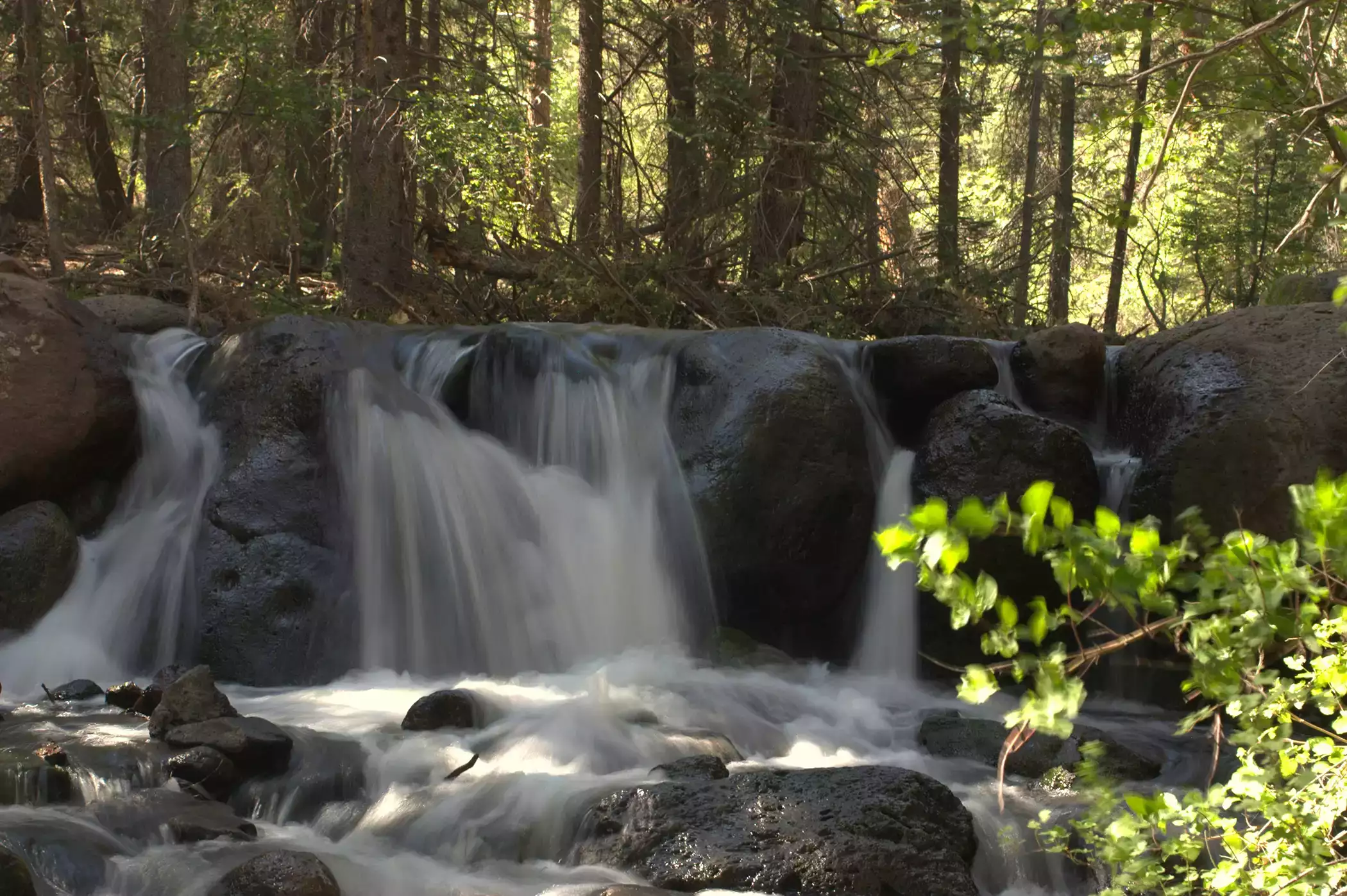
Boulder Mountain is well-known for its dozens of fishable lakes, but Boulder Mountain’s alpine creeks, streams, and small rivers are abundant with wild trout populations. The pristine mountain waters offer a serene, and often remote, fishing experience, especially for anglers willing to hike a bit. Averaging 15-20 feet wide, local outfitters often recommend short rods and light lines for Boulder Mountain’s smaller waters.
Dozens of backcountry roads and hiking trails lead to Boulder Mountain’s creeks. Scenic Byway 12 on the east side of Boulder Mountain, and Scenic Highway 24 to the north, are generally open year-round. Secondary and backcountry roads to Boulder Top are usually closed except during summer. Boulder Mountain fishing season runs from mid-April to November, depending on the elevation.
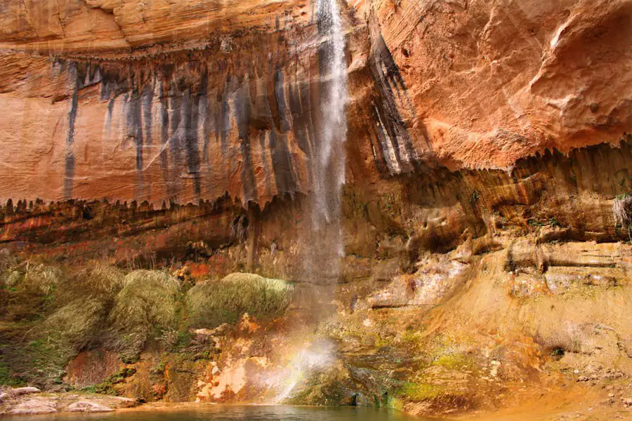
Boulder Creek
Boulder Creek flows on the east side of Boulder Mountain’s upper elevations, into Grand Staircase Escalante National Monument. The creek flows through public BLM and Dixie National Forest lands, and through some private land near Boulder. Boulder Creek boasts a varied and abundant trout population. Upper creek waters are typically laden with brook and cutthroat trout, while rainbow and brown trout are more commonly found in the middle and lower ends of the creek. Boulder Creek is accessible by road or by foot.


Related Lodging, Dining, & Guides.


Boulder Mountain Guest Ranch


Boulder Mountain Guest Ranch

Boulder Mountain Guest Ranch


Boulder Mountain Lodge
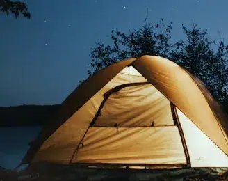
Boulder Meadows RV & Campground

Little Bone Food Truck
Calf Creek Campground

Boulder Mountain Guest Ranch