Capitol Reef National Park
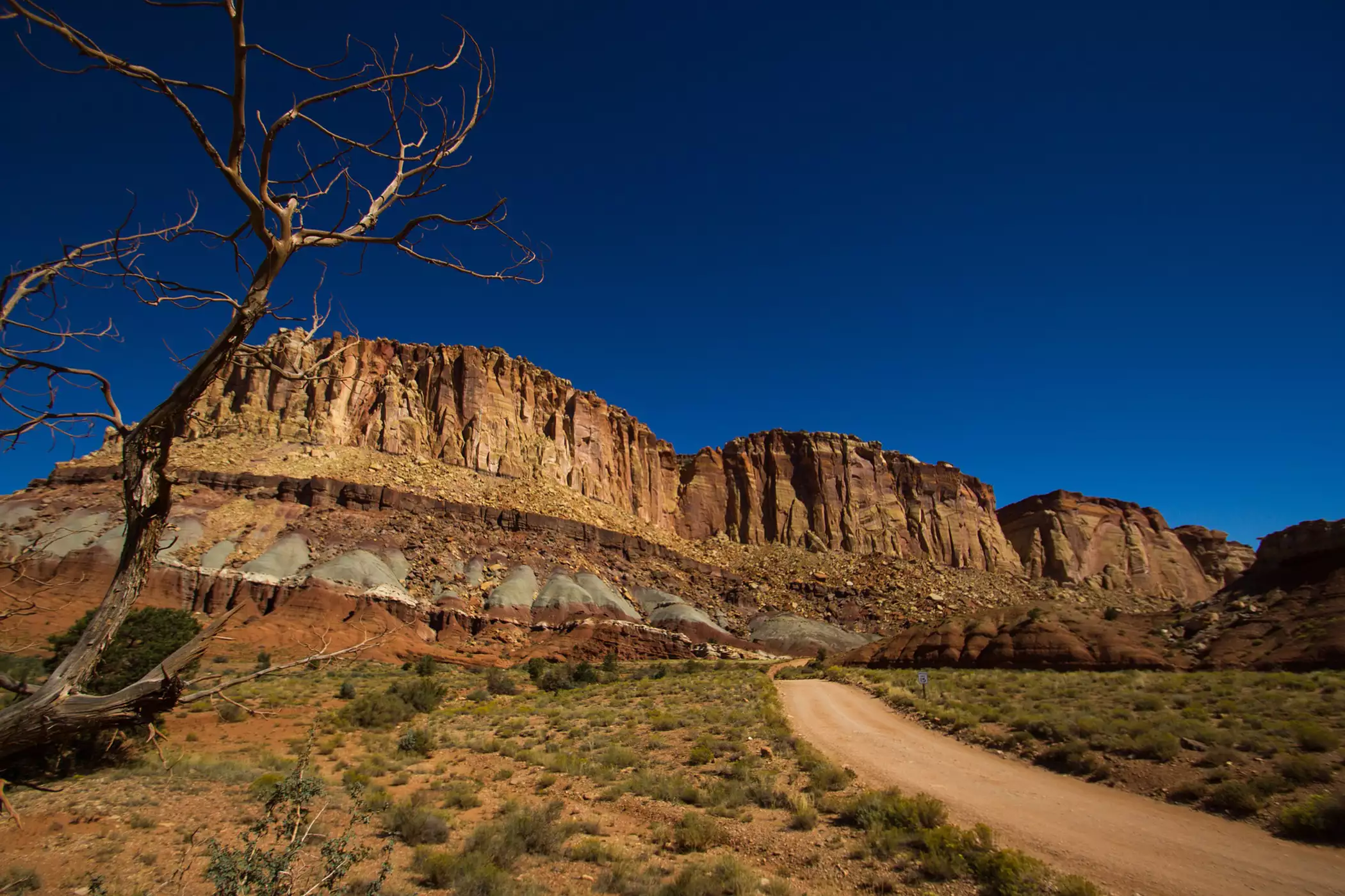
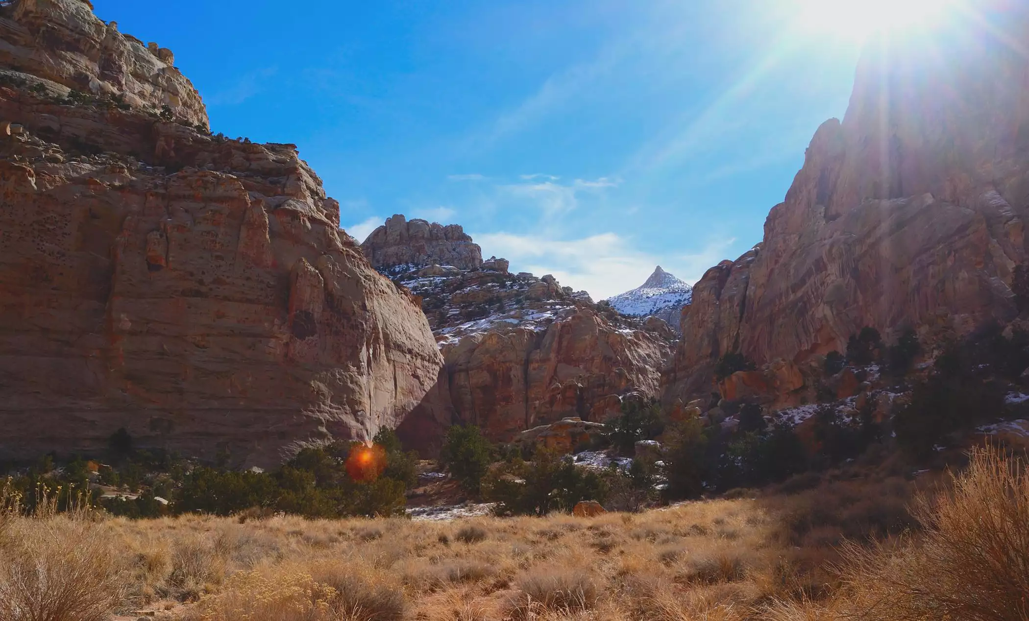
Capitol Reef National Park protects 241,904 acres of south-central Utah, including most of the Waterpocket Fold, a nearly 100-mile wrinkle in the earth's crust lined with colorful cliffs, white sandstone domes, canyons and natural bridges. The park is on Highway 24 between Torrey and Hanksville, open 24 hours a day year-round, and about three hours from Bryce Canyon National Park on Scenic Byway 12.
What is the Waterpocket Fold?
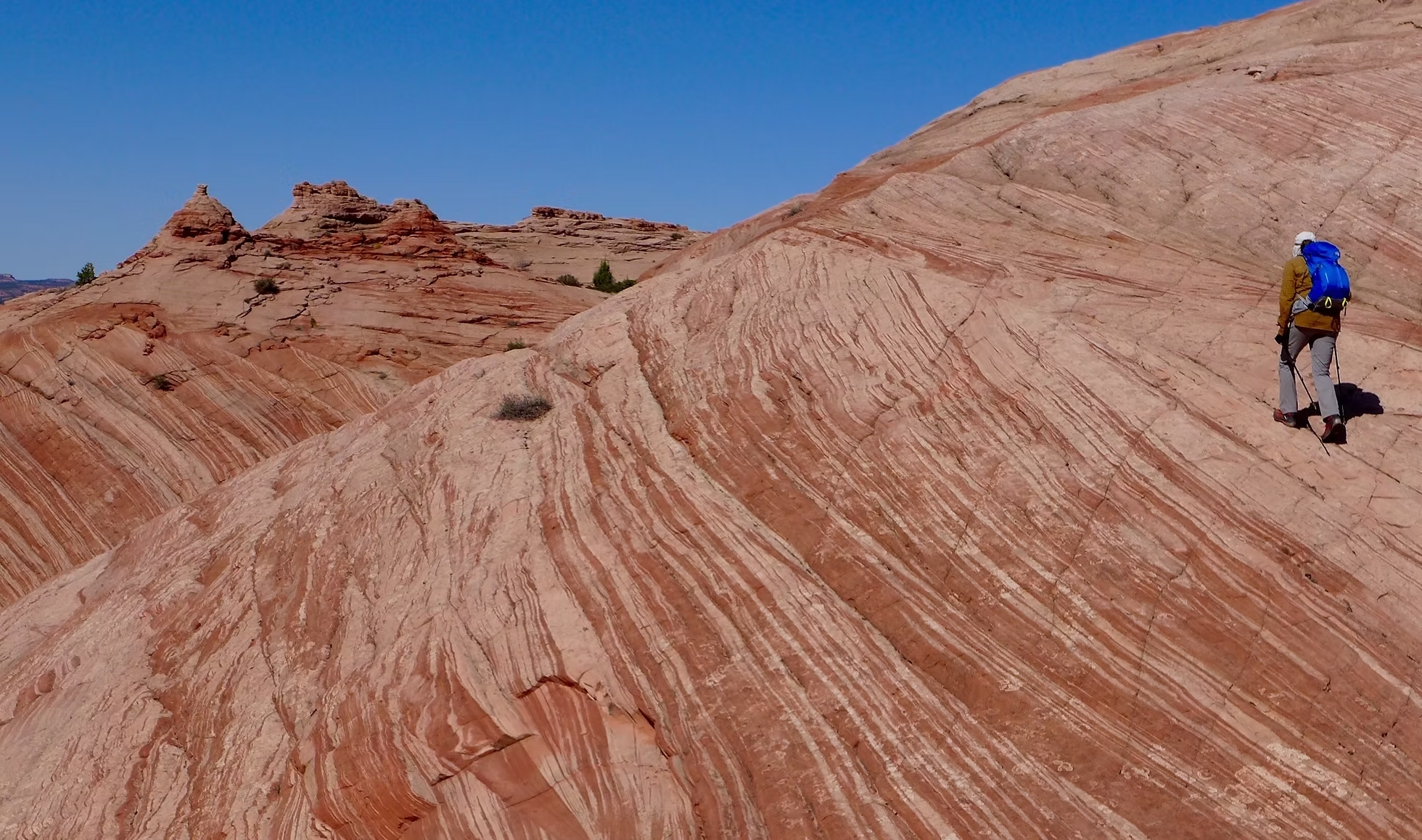
The Waterpocket Fold is a monocline, a place where rock layers bend sharply in one direction, running almost 100 miles from Thousand Lake Mountain to Lake Powell. Erosion along the fold has exposed bands of red, white and gray sandstone and shale. It has also carved small basins into the rock that collect rainwater, the "water pockets" the fold is named for.
Why is it called Capitol Reef?
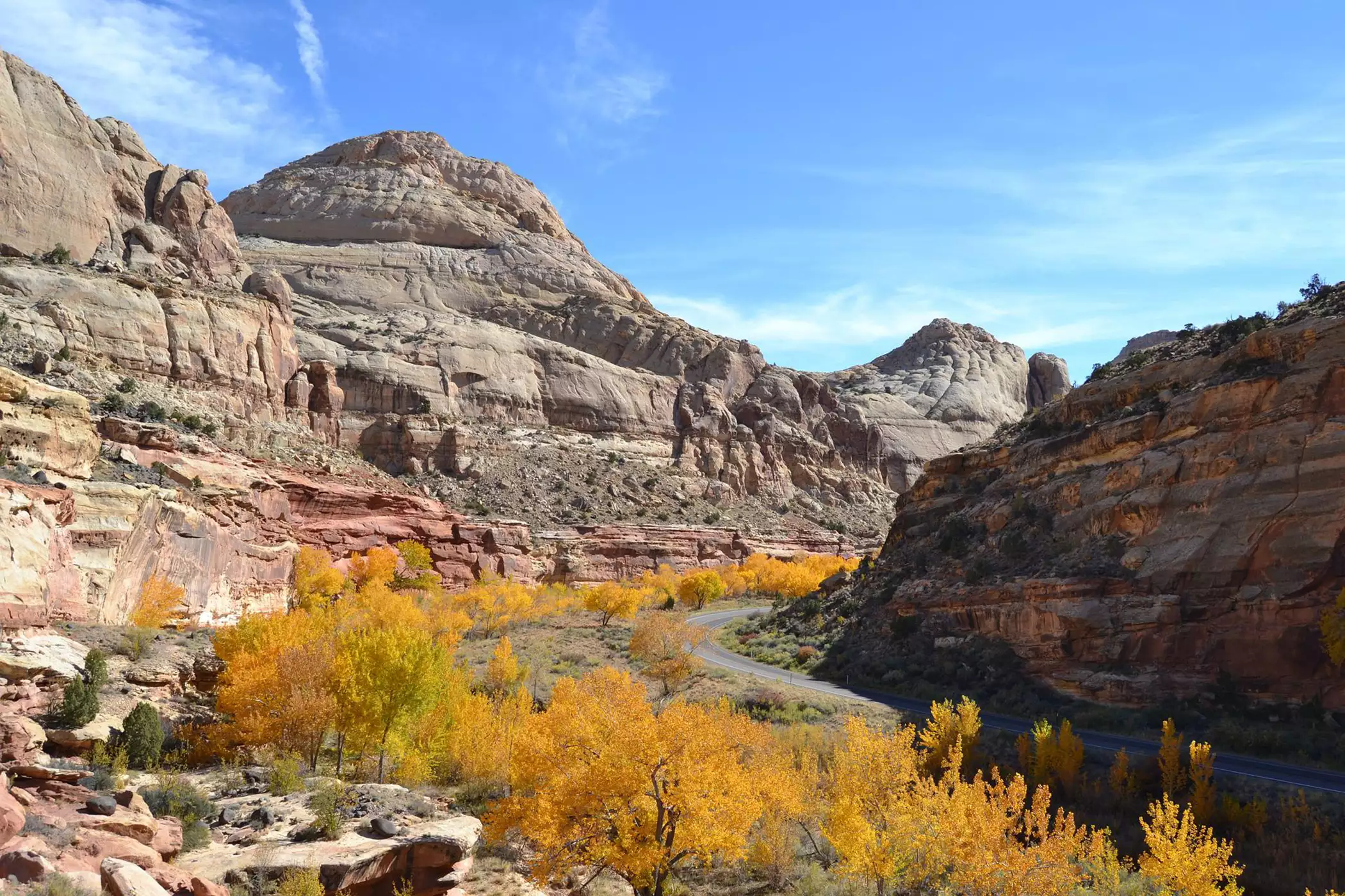
The name has two parts. "Capitol" comes from the white Navajo Sandstone domes that resemble the dome of the U.S. Capitol. "Reef" is a sailor's term for a barrier: the fold's cliffs were as hard for early travelers to cross as a reef is for ships.
Things to do in Capitol Reef
Drive the Scenic Drive
This paved, 8-mile road runs south from the visitor center along the face of the Waterpocket Fold. Plan about two hours round trip with stops. Unpaved spur roads lead into Grand Wash and Capitol Gorge, but they close after storms, so check conditions at the visitor center.
Explore the Fruita Historic District
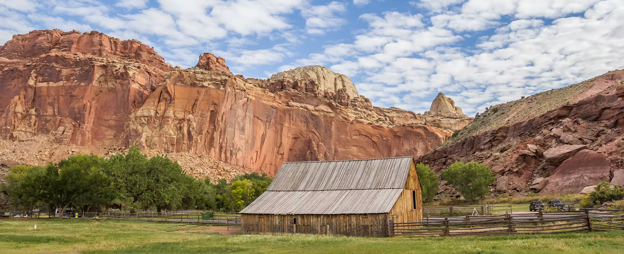
Mormon pioneers settled Fruita in the late 1800s. Today the district includes the Fruita schoolhouse, the Gifford House store and museum, and one of the largest collections of historic orchards in the National Park System. You can pick and eat fruit in the orchards for free in season, and there's a small fee to take fruit with you. The Gifford House is open from mid-March through late November.
See the Fremont petroglyphs
People of the Fremont culture lived in this area from about 600 to 1300 CE and carved figures and animals into the canyon walls. A boardwalk along Highway 24 east of the visitor center leads to one of the most accessible panels.
Go stargazing
Capitol Reef is a certified International Dark Sky Park, and its remote location makes for dark night skies.
Get into the backcountry
Cathedral Valley, in the park's remote north end, has sandstone monoliths that rise from the desert floor. Exploring it takes a high-clearance vehicle and about a day.
Best hikes in Capitol Reef
- Hickman Bridge (1.8 miles round trip, moderate): The park's most popular trail climbs about 400 feet to a 133-foot natural bridge. Look for Fremont petroglyphs along the way.
- Chimney Rock Loop (3.6 miles, moderate): Climbs about 590 feet to wide views of the Waterpocket Fold's cliffs. It's a good choice at sunset.
- Cassidy Arch: A steep climb out of Grand Wash to an arch you can stand on top of. It's named for the outlaw Butch Cassidy. Check whether the Grand Wash road is open before you go.
- Grand Wash and Capitol Gorge: Easier canyon walks between towering walls, reached from the Scenic Drive's spur roads. Both close during and after storms because of flash flood risk.
Visiting Capitol Reef: Hours, Fees and Camping Options
- Hours: The park is open 24 hours a day, year-round. The visitor center is open daily, 8 a.m. to 4:30 p.m. from spring through fall, with shorter winter hours.
- Fees: Driving Highway 24 through the park is free. The Scenic Drive beyond Fruita Campground costs $20 per vehicle, $15 per motorcycle or $10 per person on foot or bike, valid for 7 days. The America the Beautiful pass is accepted.
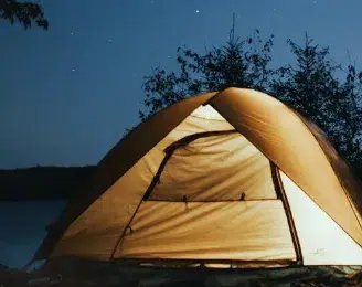
- Camping: Fruita Campground is the park's only developed campground. It has 71 sites among the orchards along the Fremont River, $25 a night, with reservations up to six months ahead on Recreation.gov. It's typically fully booked from mid-March through October. Small primitive campgrounds in Cathedral Valley and on Cedar Mesa are first-come, first-served.
- Busiest season: May through September.
Combining Capitol Reef with a Bryce Canyon Country trip
Capitol Reef and Bryce Canyon are only about three hours apart. The drive between them is one of the most scenic in the West, and the Bryce Canyon Country towns of Escalante and Boulder sit right along it. Most travelers pair the two parks in one of two ways.
Scenic Byway 12 (paved, about 3 hours). This All-American Road runs east from Bryce Canyon through Bryce Valley, Escalante and Boulder, then climbs over Boulder Mountain to Torrey. From Torrey, it's about 9 miles east on Highway 24 to the Capitol Reef Visitor Center. Good stops along the way:
- Escalante: Gas, food and outfitters, with Grand Staircase–Escalante National Monument all around.
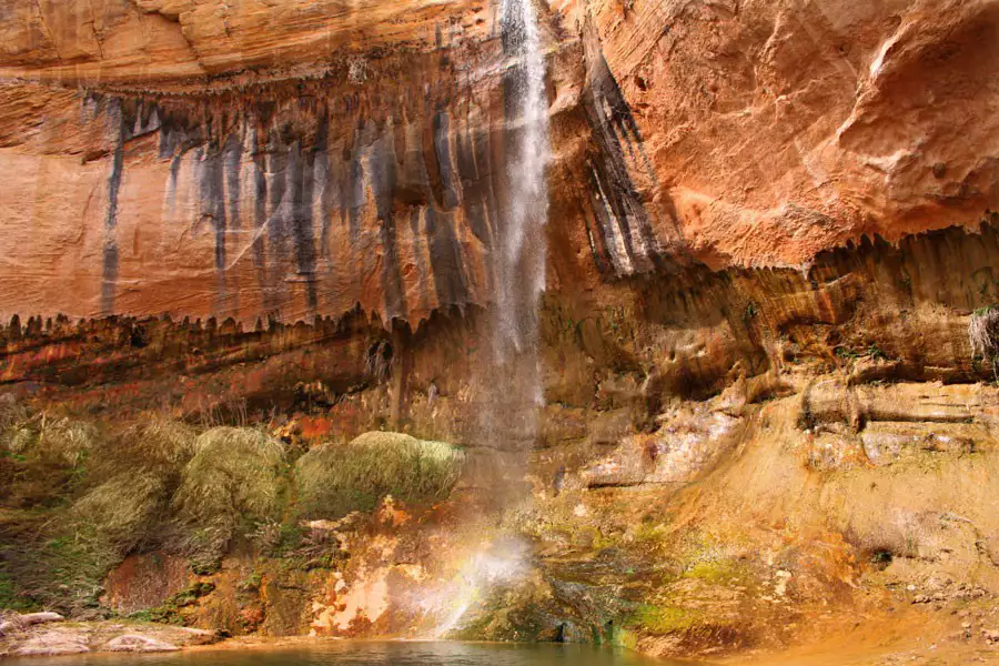
- Lower Calf Creek Falls and the Hogsback: A waterfall hike and a stretch of highway along a narrow ridge with steep drops on both sides.
- Boulder: The last town before Boulder Mountain, and a good place to stop for lunch or the night.
- Larb Hollow Overlook: On Boulder Mountain, with views across the Waterpocket Fold to the Henry Mountains.
The highway reaches 9,600 feet on Boulder Mountain and can be hazardous in snow and ice, so check road conditions before driving it in winter.
The Burr Trail (backroad, half day or more). From Boulder, the paved Burr Trail Road runs east through Long Canyon and the Circle Cliffs to Capitol Reef's western boundary. Inside the park, it becomes graded dirt for 8.5 miles. That stretch includes switchbacks that climb about 800 feet in half a mile and aren't suitable for RVs or trailers.
Near the top of the switchbacks, a side road leads to the Strike Valley Overlook trail, which has one of the best views of the Waterpocket Fold. A high-clearance vehicle is recommended for that side road. Drivers with time and a capable vehicle can continue north on the mostly dirt Notom-Bullfrog Road to Highway 24, a route the Park Service calls "Looping the Fold."
Where to Stay
Escalante and Boulder put you between the two parks, so neither one is a long drive. You can spend a morning on the Burr Trail or at Calf Creek and still reach Capitol Reef or Bryce Canyon by afternoon. Find lodging options in these areas here.
A sample three-day plan
Day 1: Bryce Canyon National Park. Catch sunrise on the rim, then hike below it.
Day 2: Drive Scenic Byway 12 to Escalante and Boulder, with a stop at Lower Calf Creek Falls. Drive the paved Burr Trail through Long Canyon in the afternoon, and stay in Boulder or Escalante.
Day 3: Cross Boulder Mountain to Capitol Reef for the Scenic Drive, Fruita and Hickman Bridge.


Capitol Reef National Park FAQ
Where is Capitol Reef National Park?
Capitol Reef is in south-central Utah on Highway 24 between Torrey and Hanksville. The visitor center is about 9 miles east of Torrey, and the park is about three hours from Bryce Canyon National Park on Scenic Byway 12.
How much does it cost to visit Capitol Reef?
Driving through the park on Highway 24 is free. The Scenic Drive beyond Fruita Campground costs $20 per vehicle, $15 per motorcycle or $10 per person on foot or bike, valid for 7 days. The America the Beautiful pass is accepted.
What are the best hikes in Capitol Reef?
Hickman Bridge (1.8 miles round trip) leads to a 133-foot natural bridge and is the park's most popular hike. The Chimney Rock Loop (3.6 miles) has wide views of the Waterpocket Fold and is a good sunset hike.
Can you camp in Capitol Reef National Park?
Yes. Fruita Campground, the park's only developed campground, has 71 sites and takes reservations up to six months ahead on Recreation.gov. It's typically fully booked from mid-March through October.
What is the Waterpocket Fold?
The Waterpocket Fold is a monocline, a wrinkle in the earth's crust, that extends almost 100 miles through south-central Utah. Capitol Reef National Park was established to protect it.
Why is it called Capitol Reef?
"Capitol" comes from the white Navajo Sandstone domes that resemble the dome of the U.S. Capitol. "Reef" comes from the cliffs that block travel, the way a reef blocks ships.
How far is Capitol Reef from Bryce Canyon?
About three hours by car on Scenic Byway 12, according to the National Park Service. The route runs through Escalante and Boulder and crosses Boulder Mountain before reaching Torrey.
Is the Burr Trail paved?
The Burr Trail Road is paved from Boulder to the western boundary of Capitol Reef National Park. Inside the park it becomes a graded dirt road for 8.5 miles, including switchbacks that climb about 800 feet in half a mile. The switchbacks are not suitable for RVs or vehicles towing trailers.
Related Lodging, Dining, & Guides.


Boulder Mountain Lodge

Boulder Mountain Guest Ranch

Boulder Mountain Guest Ranch
Utah Slickrock Guides


Boulder Mountain Guest Ranch


Hell's Backbone Ranch and Trail


Little Bone Food Truck

Boulder Mountain Guest Ranch


Annie's Place Bed and Breakfast
Calf Creek Campground
Deer Creek Campground

Hills and Hollows General Store

Burr Trail Grill