

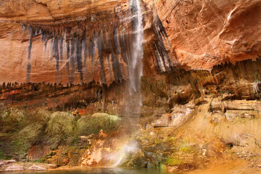
Lower Calf Creek Falls
The trailhead is found at the Calf Creek campground just fifteen miles east of the town of Escalante on Scenic Byway 12. The waters of Calf Creek begin in the Boulder Mountains and the creek eventually enters the Escalante River drainage.
The Calf Creek Falls hike is approximately 2.5 miles (each direction) and winds its way on a relatively flat course through a long section of the canyon until the canyon ends abruptly at the falls which rise 126 feet above the canyon floor.
Calf Creek runs through the center of the canyon and is filled with trout and beaver. The beaver has created many dams along the river which help to control spring flooding and prevent siltation. The stream is clear and fish can be spotted darting about the deeper pools as you walk along its banks.
Midway on your Calf Creek Falls hike, you’ll encounter a view of large pictographs (painted) on the canyon walls. These images are large and lifelike and easily spotted across the canyon (on your right) as you are headed to the falls.
The elevation at the Campground is 5,346 feet and there is very little elevation change on the hike, but the trail is often sandy and this makes going a little more challenging. The best times to visit this area are spring and fall, but an early start on a summer day is also a good option.
Distance: 6.7 miles
At 6.7-miles round trip, the Lower Calf Creek Falls trail meanders alongside the serene, cooling waters of Calf Creek. Nestled in a gorgeous Navajo sandstone canyon, the trail casually winds along with the crystal clear waters of Calf Creek and culminates in a spectacular cascade that falls 130 feet into a large, aqua and emerald-colored pool. The trail is a fantastic hike for families as the creek and steep canyon walls keep temperatures comfortable.


Related Lodging, Dining, & Guides.


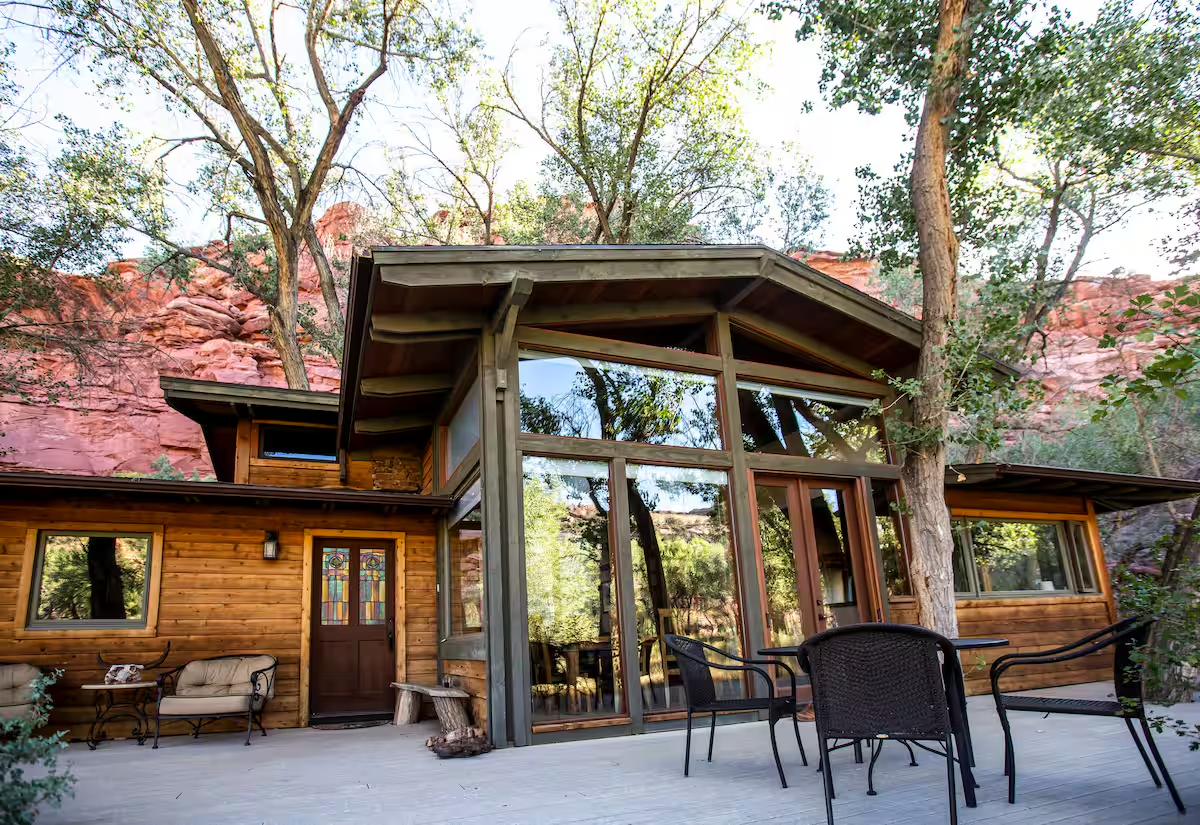
Wild West Retreat


Escalante Grand Resort
Sculptured Furniture, Art & Ceramics Gallery
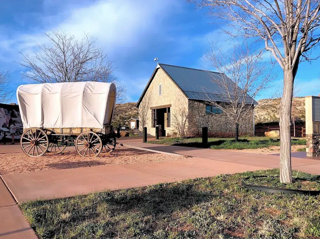
Escalante Heritage Center Campground


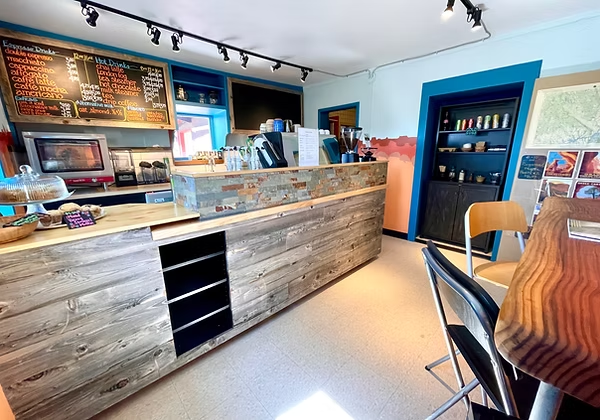
Roasted Root Cafe

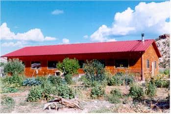
Red Rock Ranch Escalante Cabin

La Luz Desert Retreat

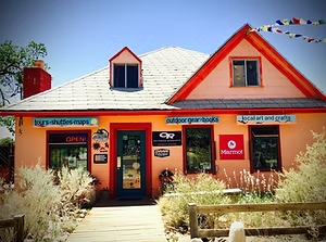
Escalante Outfitters - Fly Fishing Guide

Escalante Doggie Day Care


Rainbow Country Bed & Breakfast


Escalante Outfitters


Boulder Mountain Lodge


Chihuahua Garcia Mexican Grill


Escalante Outfitters and Bunkhouse

40 Acre Escalante Canyon Retreat

Boulder Mountain Guest Ranch


Serenidad Gallery


Escalante's Wild West Retreat and Cookout


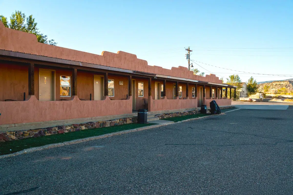
Slot Canyons Inn
